
Articles

Design and development of collection, management and dissemination of historic buildings information software in settlements located in the North Aegean Region
The objective of the Project, the implementation of which has been undertaken by GET, is the provision of services for the “Design and development of software…
Read more: Design and development of collection, management and dissemination of historic buildings information software in settlements located in the North Aegean Region
Development of Spatial Data Infrastructure for the Municipality of Igoumenitsa
The scope of the Project, the implementation of which has been undertaken by GET, is the modernization of the management of geospatial information, in order to…
Read more: Development of Spatial Data Infrastructure for the Municipality of Igoumenitsa
Expansion and upgrade of the Geographic Information System of Agrinio Municipality
GET undertook the implementation of the “Expansion and Upgrade of GIS of Agrinio Municipality”. The project is part of the actions of Development and…
Read more: Expansion and upgrade of the Geographic Information System of Agrinio Municipality
Design & Development of the IRC Web Application Information System, in the framework of the “integrated platform for the strategic management of buildings / settlements and the collection, support, protection and promotion of Cultural Heritage”
RC “Athena” participates in the design and development of the IRC-HERMES project (http://irc-hermes.eu/), with the aim of providing a single platform for the…
Read more: Design & Development of the IRC Web Application Information System, in the framework of the “integrated platform for the strategic management of buildings / settlements and the collection, support, protection and promotion of Cultural Heritage”
New R&D projects under the 2nd round of the RESEARCH – CREATE – INNOVATE action
GET participates at the implementation of new research projects under the framework “RESEARCH – CREATE – INNOVATE” of the Operational Programme…
Read more: New R&D projects under the 2nd round of the RESEARCH – CREATE – INNOVATE action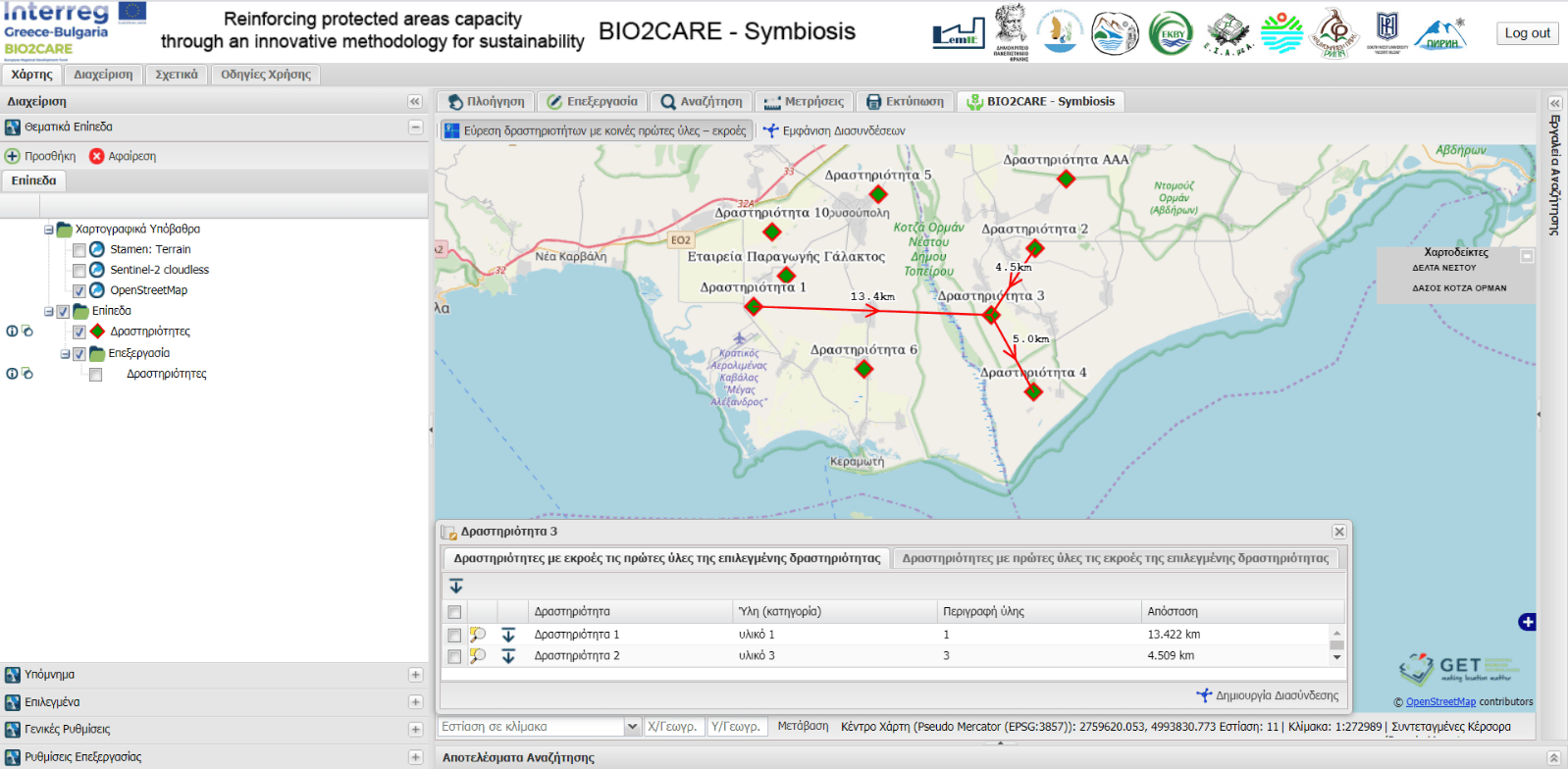
Development of a web tool for the estimation of industrial symbiotic activities
GET, in the context of the BIO2CARE project “Strengthening Protected Areas Management Capacity through an Innovative Sustainability Methodology” implemented…
Read more: Development of a web tool for the estimation of industrial symbiotic activities
Opertus Mundi online surveys on geospatial data use
Data owners, producers, and consumers needed to shape Europe’s geospatial data marketplace. In the H2020 project Opertus Mundi, we’re in the process of setting…
Read more: Opertus Mundi online surveys on geospatial data use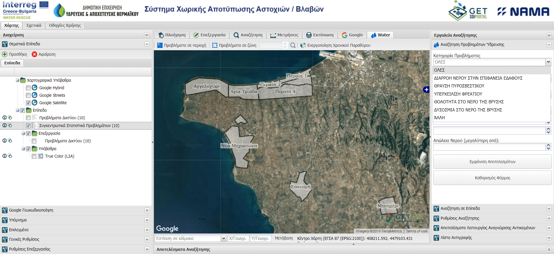
Development of advanced GeoICT tools for the Municipal Enterprise of Water and Sewage of Thermaikos
GET in cooperation with «NAMA Consulting Engineers and Planners S.A.» has successfully completed the development of innovative applications that support the…
Read more: Development of advanced GeoICT tools for the Municipal Enterprise of Water and Sewage of Thermaikos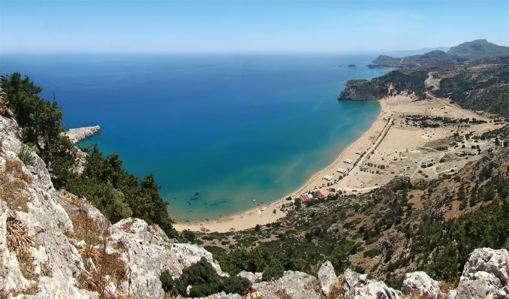
Spatial Data Infrastructure for the Greek islands
With more than 9,837 marine islands (islands, small rocky islands and deserted islands), the Greek islands account for 16% of the country’s total land area…
Read more: Spatial Data Infrastructure for the Greek islands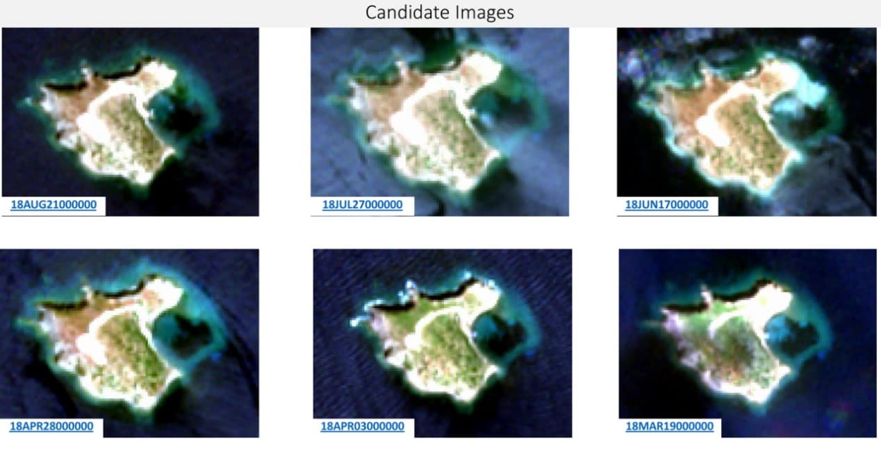
Advances in Change Detection and Continuous Land Monitoring Technology
Introduction The monitoring of large regions of the world for significant changes has been a challenge in the past due to insufficient imagery and timeliness…
Read more: Advances in Change Detection and Continuous Land Monitoring Technology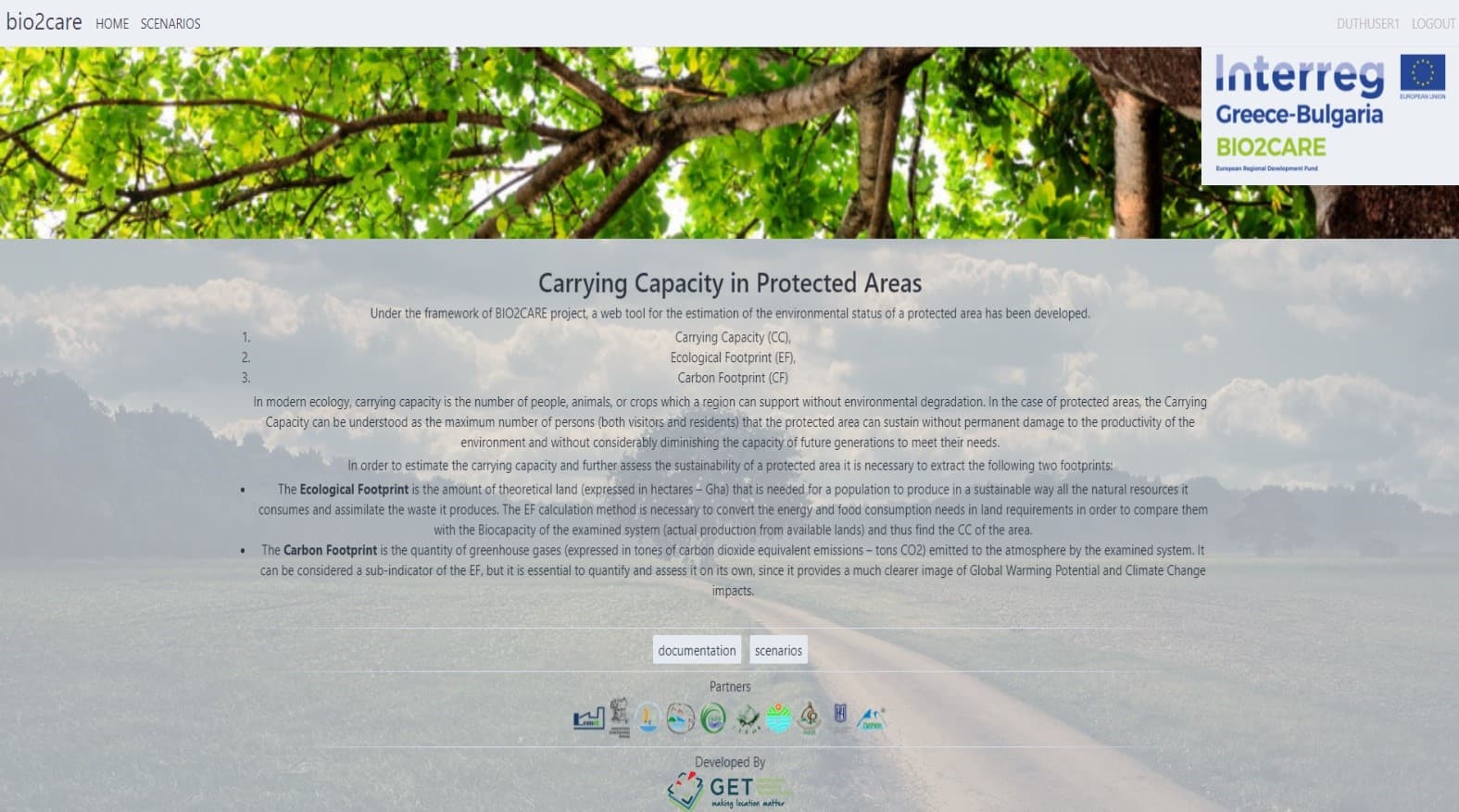
Development of a web tool for the calculation of the carrying capacity, the ecological footprint and the carbon footprint of a protected area
GET, in the context of the BIO2CARE project “Strengthening Protected Areas Management Capacity through an Innovative Sustainability Methodology” implemented…
Read more: Development of a web tool for the calculation of the carrying capacity, the ecological footprint and the carbon footprint of a protected area