
Research projects
The research and innovation projects GET takes part in, under Horizon 2020, LIFE and national programmes: from Earth observation and the environment to climate adaptation and cultural heritage.

GRID
Urban heat adaptation in Kallithea and Moschato–Tavros: GET builds the planning platform and the mobile app.

CLIMASPIN
A climate vulnerability assessment toolkit for spatial and urban planning, with high-resolution data, geospatial analysis and AI.

SPACE 4.0
Space technologies and applications: GET builds the system for monitoring and modelling atmospheric pollutants.

NanoExplore
A web platform for sensor data on exposure to engineered nanomaterials at work and in cities.

PULCHRA
The City Challenges Platform, bringing schools and local stakeholders together around urban challenges, built with NKUA.

ADAPT2CLIMA
A decision support tool for adapting the agriculture of Mediterranean islands to climate change, built by GET for LIFE ADAPT2CLIMA.
URBANPROOF
A decision support toolkit for climate change adaptation planning in cities, built by GET for LIFE URBANPROOF.
5D ARCH AID
Documents historic buildings with small drones, 3D modelling and the HERMeS methodology, as a service.
eLEONAS ppWebGIS
A participatory planning platform for sustainable development, tried out in Eleonas, Athens. Coordinated by GET.
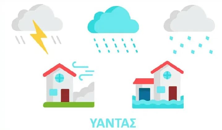
YANTAS
Assesses and maps vulnerability and risk from severe weather across Greece, by postcode, with INTERAMERICAN.
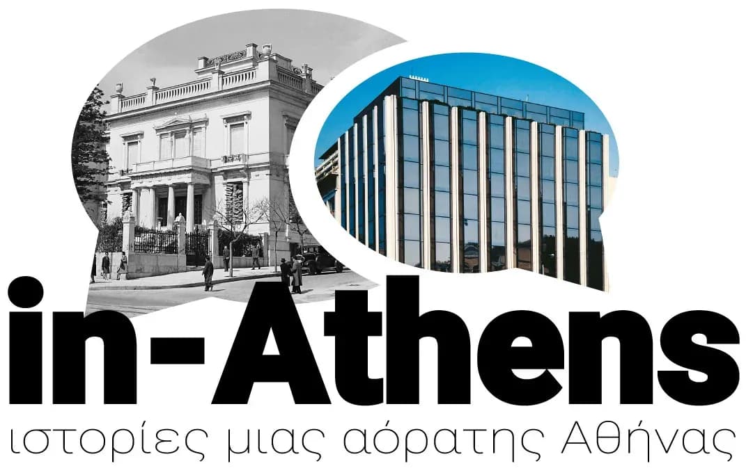
inAthens
Turns archival material on the history of Athens into digital stories and mobile applications.

FarmaDSS
Supports cotton growing with satellite remote sensing, IoT sensors and agricultural models, for pest control and irrigation.

AquaSafe
A precision aquaculture geoinformation system, with remote sensing and in-situ data for early warning.
Adapt2CC
A climate change vulnerability index for urban areas, and a multi-criteria system for assessing adaptation measures.
AquaNet
City water management and water network monitoring, with a web client for its geospatial data on open standards.

Publica Mundi
Rebuilt geodata.gov.gr on free and open-source software, and extended open data catalogues to geospatial data.
SLIPO
Scalable linking and integration of big point of interest (POI) data, with a vendor-agnostic POI ontology.
Radioactive pollution and satellite observations of the sea
Doctoral research with NCSR Demokritos on how radioactive pollution relates to satellite observations of the sea, in a GIS.
AMOS
Shallow water monitoring with acoustic sensors on an unmanned surface vessel and satellite images.
ppCity
An integrated system for spatial decision support and participatory planning, from the neighbourhood to the whole city.
MARRE
An open-source GIS for monitoring the Greek seas with satellite remote sensing and in-situ measurements.
KASTOM
A system for monitoring and forecasting air quality that combines models, satellite data and low-cost sensors.
MuseionTopos
Connects the museums of the Aegean to their settlements, with gamified tours and the documentation of architectural heritage.
LIFE ASTI
Short-term forecasting of the urban heat island effect in Thessaloniki and Rome, for urban adaptation strategies.

OpertusMundi
A Horizon 2020 innovation action building the first pan-European marketplace for industrial geospatial data.