
Articles
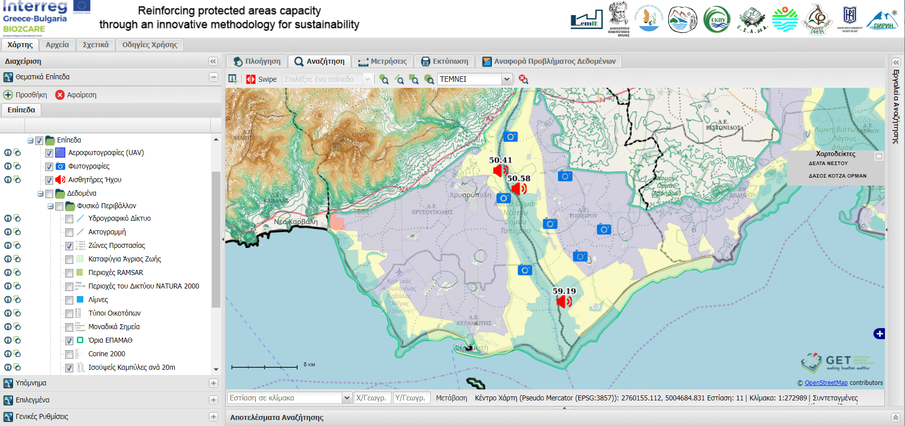
Development of Coordination and Decision-Making Software for Monitoring Nature Protected Areas in the context of the BIO2CARE Project
GET, in the context of the BIO2CARE project “Strengthening Protected Areas Management Capacity through an Innovative Sustainability Methodology” implemented…
Read more: Development of Coordination and Decision-Making Software for Monitoring Nature Protected Areas in the context of the BIO2CARE Project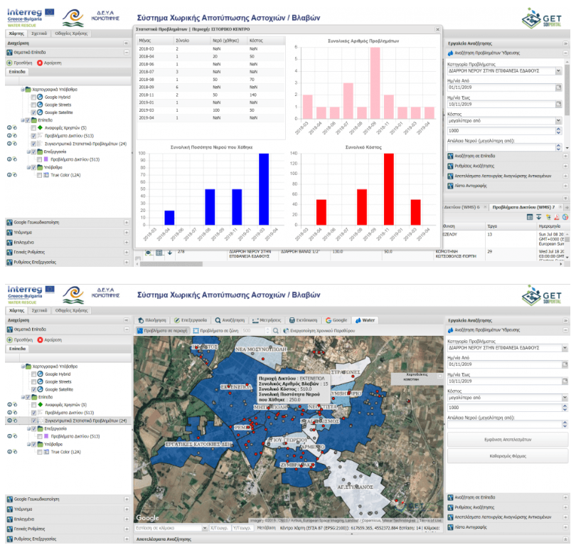
Development of advanced GeoICT tools for the Municipal Enterprise of Water and Sewage of Komotini
GET has successfully completed the development of innovative applications that support the operation and the decision making of the Municipal Enterprise of…
Read more: Development of advanced GeoICT tools for the Municipal Enterprise of Water and Sewage of Komotini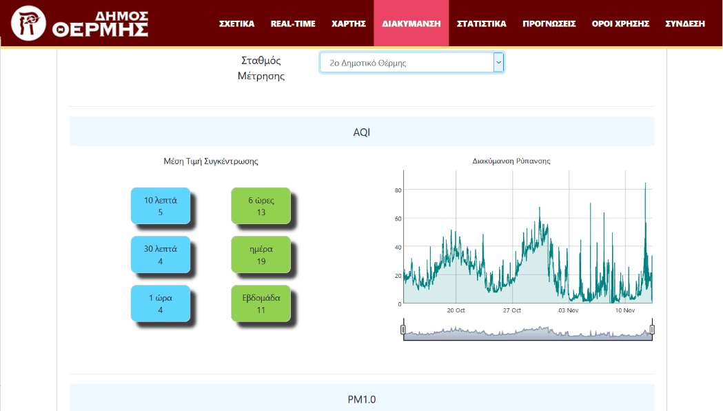
Development of a real time air quality monitoring platform for the Municipality of Thermi
GET has successfully completed the development of an innovative air pollution monitoring system using modern IoT sensors for the Municipality of Thermi. In…
Read more: Development of a real time air quality monitoring platform for the Municipality of Thermi
The LIFE ASTI system platform
The LIFE ASTI program aims to develop an operational forecasting system to monitor the Urban Heat Island (UHI) phenomenon in urban areas, but also to forecast…
Read more: The LIFE ASTI system platform
Ολοκλήρωση Παραδοτέων, του μήνα 12, του έργου MARRE (Τ1ΕΔΚ-02966)
Ένας χρόνος κλείνει για το έργο MARRE σηματοδοτώντας ένα σημαντικό οροόσημο για το έργο. Ολοκληρώθηκαν με επιτυχία τα παραδοτέα του Μήνα 12, βάσει του…
Read more: Ολοκλήρωση Παραδοτέων, του μήνα 12, του έργου MARRE (Τ1ΕΔΚ-02966)
Interreg V-A “Greece – Cyprus 2014-2020” Programme
Geospatial Enabling Technologies (www.getmap.eu) in cooperation with DOTSOFT SA (www.dotsoft.gr) in the framework of the AIGIS – https://aegisproject.eu/aigis/…
Read more: Interreg V-A “Greece – Cyprus 2014-2020” ProgrammeDeliverables of month 9 for the research project MARRE (T1EΔΚ – 02966)
Deliverables of month 9 for the project MARine monitoring system of the Hellenic Seas using REmote sensing satellite data and in-situ measurements (MARRE –…
Read more: Deliverables of month 9 for the research project MARRE (T1EΔΚ – 02966)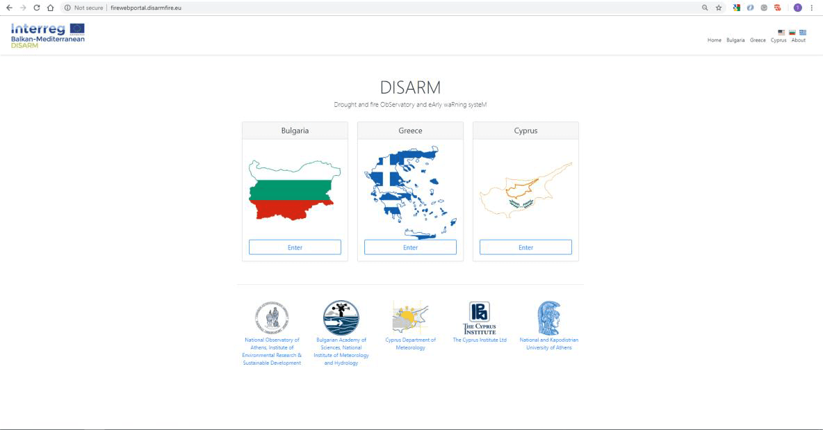
Development of a web site and of a Fire Web Portal for the National Observatory of Athens under the DISARM project
GET in the framework of the «DISARM – DROUGHT AND FΙRE OBSERVATORY AND EARLY WARNING SYSTEΜ» project of the transnational cooperation programme Interreg…
Read more: Development of a web site and of a Fire Web Portal for the National Observatory of Athens under the DISARM project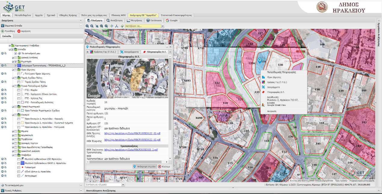
New projects in the Municipalities of Chania, Heraklio and Keratsini that aim to the enrichment of the current Urban Planning applications
GET has continuously developed Local Government projects, aiming at the implementation of various Spatial Information Infrastructures – SDIs, based on the…
Read more: New projects in the Municipalities of Chania, Heraklio and Keratsini that aim to the enrichment of the current Urban Planning applications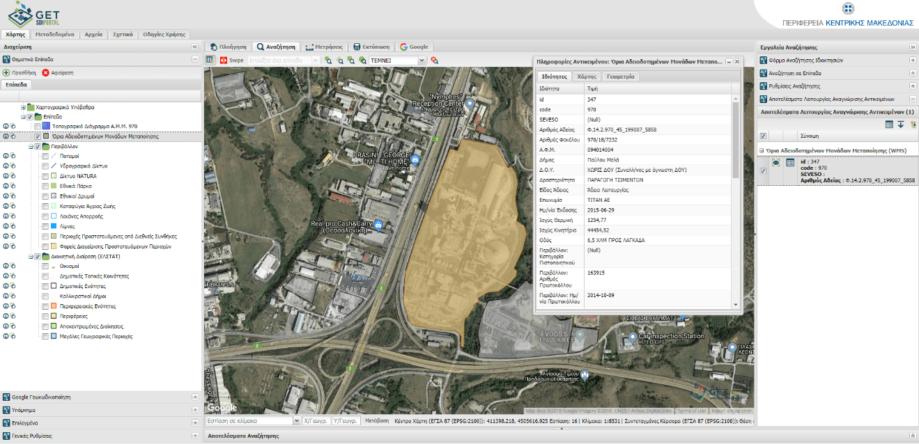
GIS for the manufacturing activity of the Central Macedonia Region
GET, in cooperation with the AKKT Engineering Consultants, completed successfully the project about the design and development of the Geographic Information…
Read more: GIS for the manufacturing activity of the Central Macedonia Region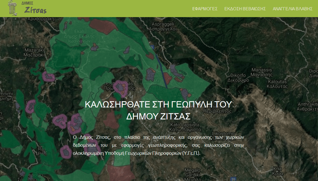
Zitsa’s Spatial Data Infrastructure is on air
The Municipality of Zitsa has developed a Spatial Data Infrastructure, driven by the transition to a digital administration system, the development of added…
Read more: Zitsa’s Spatial Data Infrastructure is on air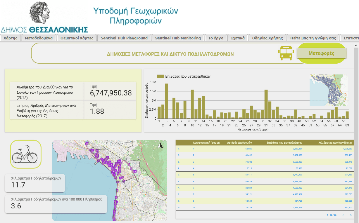
Municipality of Thessaloniki: GeoKPIs
GET in cooperation with the Municipality of Thessaloniki under the framework of «Implementation of information and interaction units – Geospatial Indicators of…
Read more: Municipality of Thessaloniki: GeoKPIs