
Articles
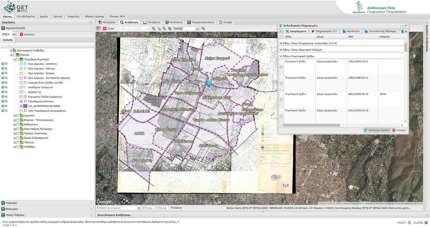
Free access to urban planning data for the Municipality of Maroussi
Municipality of Maroussi makes one more step towards innovation, regarding city urban planning data, entering into a new digital era. Exploiting technology…
Read more: Free access to urban planning data for the Municipality of Maroussi
ppCity project has already begun!
GET participates in the implementation of the research project with the title “Integrated System for the Spatial Decision Support and Participation”, acronym…
Read more: ppCity project has already begun!
Leaflet for SLIPO: Scalable Linking & Integration of Big POI Data
SLIPO: Scalable Linking & Integration of Big POI Data, receiving funding from the European Union’s Horizon 2020 research and innovation programme under grant…
Read more: Leaflet for SLIPO: Scalable Linking & Integration of Big POI Data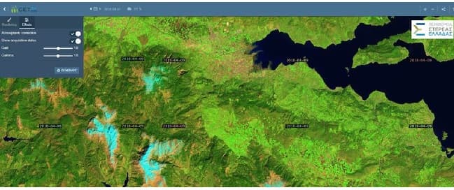
Portal for access in Copernicus Satellite Data through OGC services for the Region of Central Greece
NAMA S.A. in cooperation with GEOSPATIAL ENABLING TECHNOLOGIES will create a Portal for Open Satellite Data (Copernicus system) access in almost real time for…
Read more: Portal for access in Copernicus Satellite Data through OGC services for the Region of Central Greece
GET cooperates with Dipylon
It is a big pleasure and honor for GET to announce its cooperation with Dipylon, the non profit organisation for the study of the ancient topography and the…
Read more: GET cooperates with Dipylon
Spatial data management services with the use of GIS for the Municipality of Zitsa
GET started to provide services for the Municipality of Zitsa in order to organize Municipality’s spatial data with the use of GIS. As part of the project, GET…
Read more: Spatial data management services with the use of GIS for the Municipality of Zitsa
GET – Farmacon cooperation
GET develops for Farmacon SME (www.farmacon.gr) an operational solution which will support sustainable agriculture and good agricultural practices with the use…
Read more: GET – Farmacon cooperation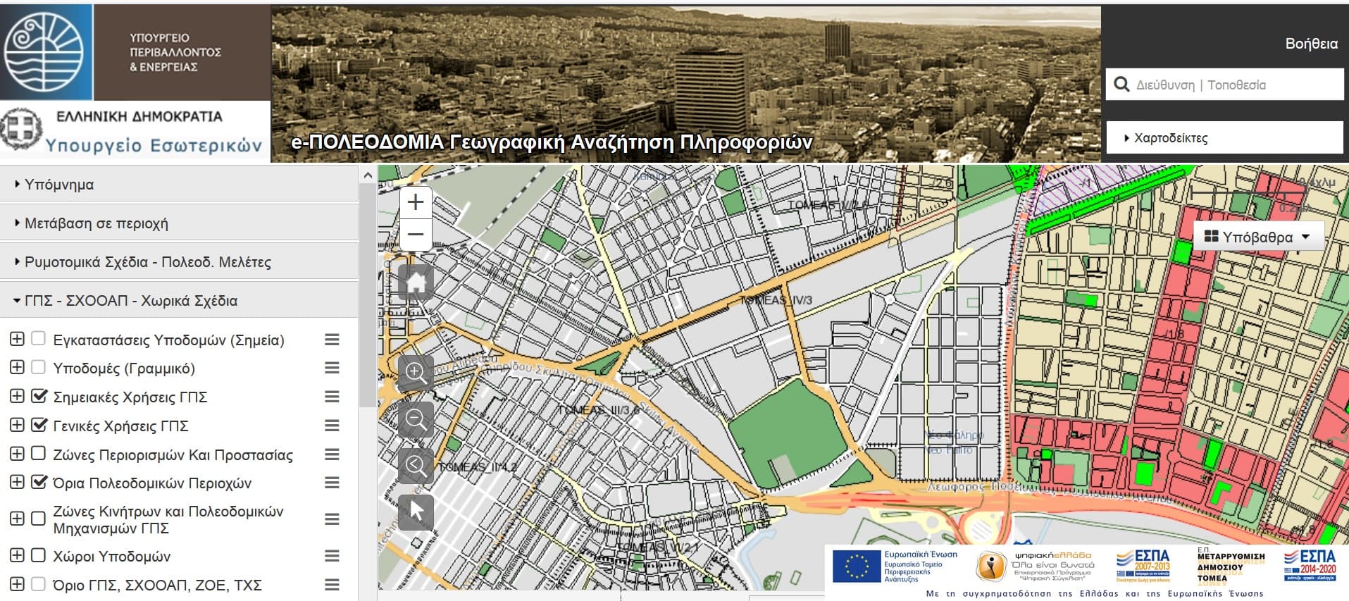
GET in Electronic Urban Planning Project
GET, as subcontractor of INTRASOFT INTERNATIONAL S.A. and TERRA MAPPING THE GLOBE, undertook and completed for the project “ELECTRONIC URBAN PLANNING…
Read more: GET in Electronic Urban Planning Project
Spatial Data Infrastructure for the Municipality of Agia Paraskevi
GET begins cooperation with the Municipality of Agia Paraskevi for the development of a Spatial Data Infrastructure. The objectives of the project are…
Read more: Spatial Data Infrastructure for the Municipality of Agia Paraskevi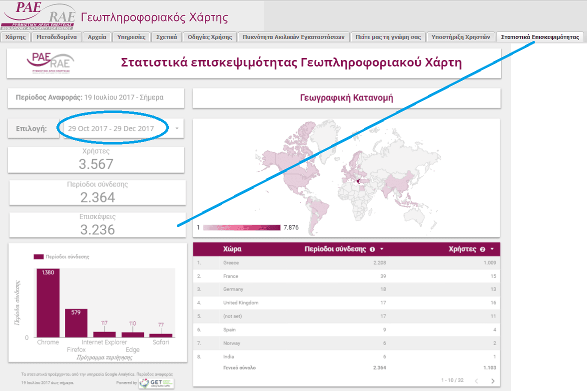
Published number of visits for the Regulatory Authority of Energy GeoPortal
The very important project of the Regulatory Authority of Energy is reflected in recent published features regarding number of visits in the web page of the…
Read more: Published number of visits for the Regulatory Authority of Energy GeoPortal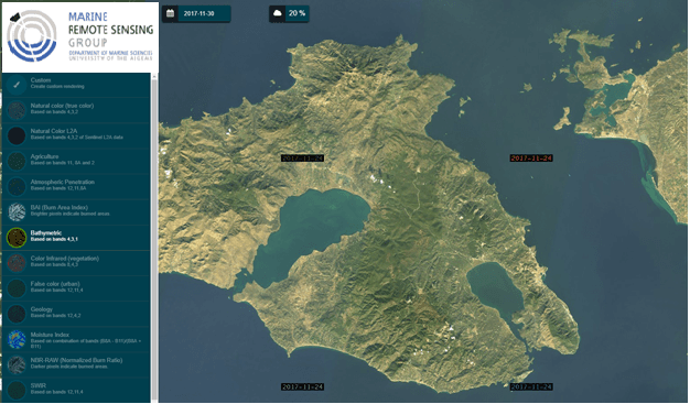
GET cooperates with the Department of Marine Sciences of the University of the Aegean
With the initiative of Marine Remote Sensing Group – MRSG) (http://mrsg.aegean.gr/) of the University of the Aegean, a web geospatial data portal (geoportal)…
Read more: GET cooperates with the Department of Marine Sciences of the University of the Aegean
New Projects for GET!
GET starts new projects for Local and Regional Government. More specifically, these projects are: Geo-Informatics applications development for urban planning…
Read more: New Projects for GET!