
Articles
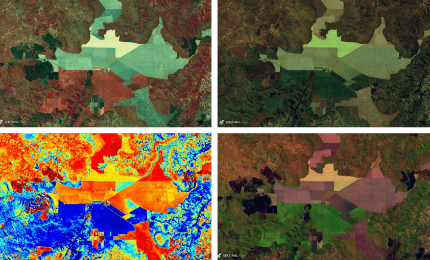
MOU between SOAR – SINERGISE – GET
Having as a goal to provide innovative mapping services, SOAR, a start-up Australian company, signed MOU with Sinergise and GEOSPATIAL ENABLING TECHNOLOGIES…
Read more: MOU between SOAR – SINERGISE – GET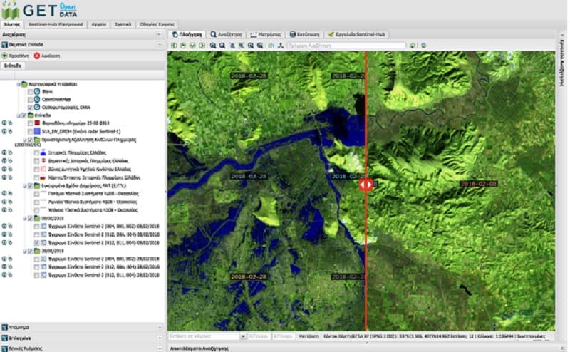
Use of satellite data for crisis management during and after flood
In the last couple of years we have experienced record-breaking extreme weather. In terms of lives lost and property damaged, floods are among the most…
Read more: Use of satellite data for crisis management during and after flood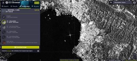
Radar Data, Sentinel-1 SAR (beta release), are also available through GETOpenData Service
SAR data by Sentinel-1 can be used for monitoring ice areas, oil spills, sea winds and currents, changes in land use, earth movements, so they are really…
Read more: Radar Data, Sentinel-1 SAR (beta release), are also available through GETOpenData Service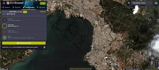
New model for atmospheric correction (Sen2Cor) for Sentinel-2 data through GETOpenData
GET Open Data Service, which provides access to Sentinel HUB data, gives also access to new data which can be found an used through the service and these are…
Read more: New model for atmospheric correction (Sen2Cor) for Sentinel-2 data through GETOpenData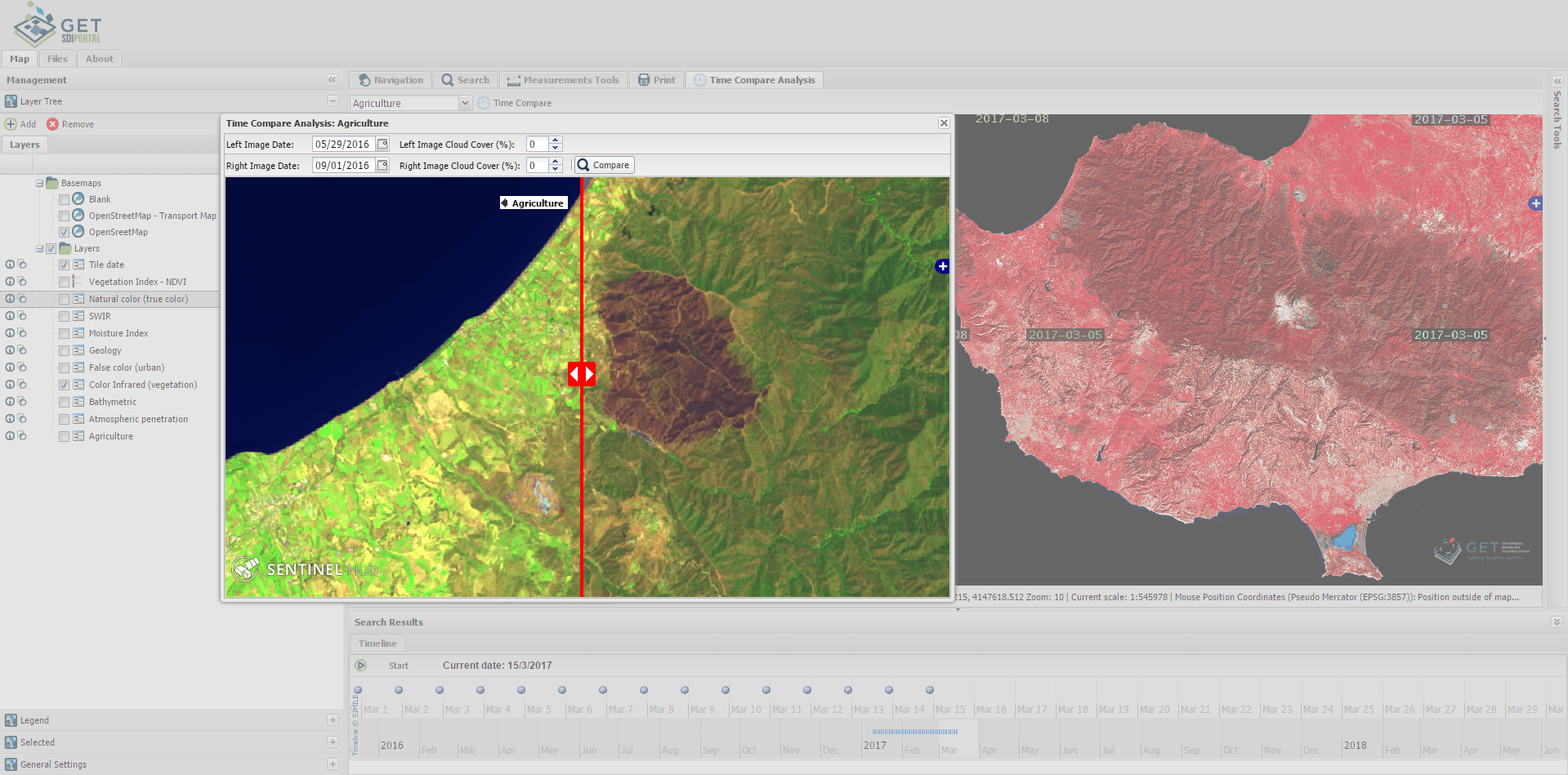
Sentinel-3 data services integrated into GETOpenData
We are quite pleased to announce the integration of Sentinel-3 mission data. Geospatial Enabling Technologies Ltd. (GET) as the unique Greek partner of…
Read more: Sentinel-3 data services integrated into GETOpenData
GET partners with Sinergise to offer added value services based on Copernicus data in Greece and Cyprus
Sinergise Ltd., a GIS company building advanced solutions for management of spatial data announced a new reseller partnership with Geospatial Enabling…
Read more: GET partners with Sinergise to offer added value services based on Copernicus data in Greece and Cyprus