
Articles
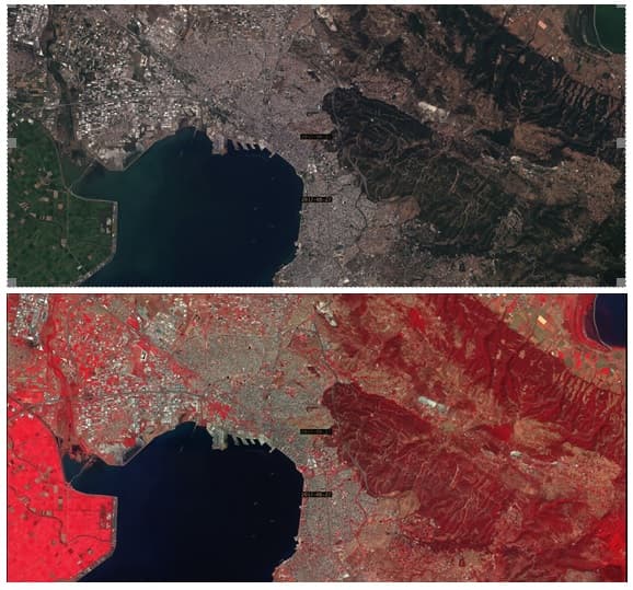
View, search, download services for Copernicus satellite data via standardized web services for the Municipality of Thessaloniki
Supporting the Municipality of Thessaloniki at the effort to update its infrastructures, GET in cooperation with the Department of building and Urban planning…
Read more: View, search, download services for Copernicus satellite data via standardized web services for the Municipality of Thessaloniki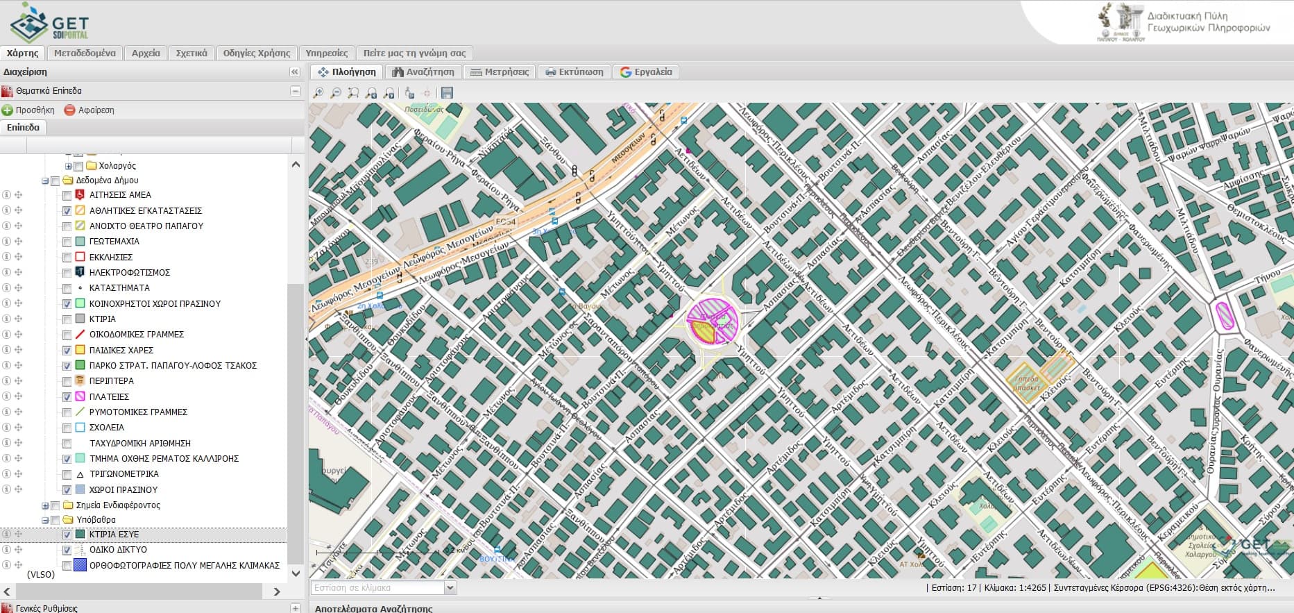
Urban planning data application and open data portal development for Papagou – Cholargos Municipality
GET continues its cooperation with Papagou – Cholargos Municipality and provides its services in order to develop urban planning data application as well as…
Read more: Urban planning data application and open data portal development for Papagou – Cholargos Municipality
SLIPO’s (Scalable Linking & Integration of Big POI Data) leaflet
Under the dissemination and communication activities of the research project SLIPO Scalable Linking & Integration of Big POI Data funded by European Union as…
Read more: SLIPO’s (Scalable Linking & Integration of Big POI Data) leaflet
Special Secretariat for Water offers geospatial datasets through Geoportal
Under the creation process of Management Plans, geospatial datasets are produced. These data concern the determination of Water Districts, River Basins, and…
Read more: Special Secretariat for Water offers geospatial datasets through Geoportal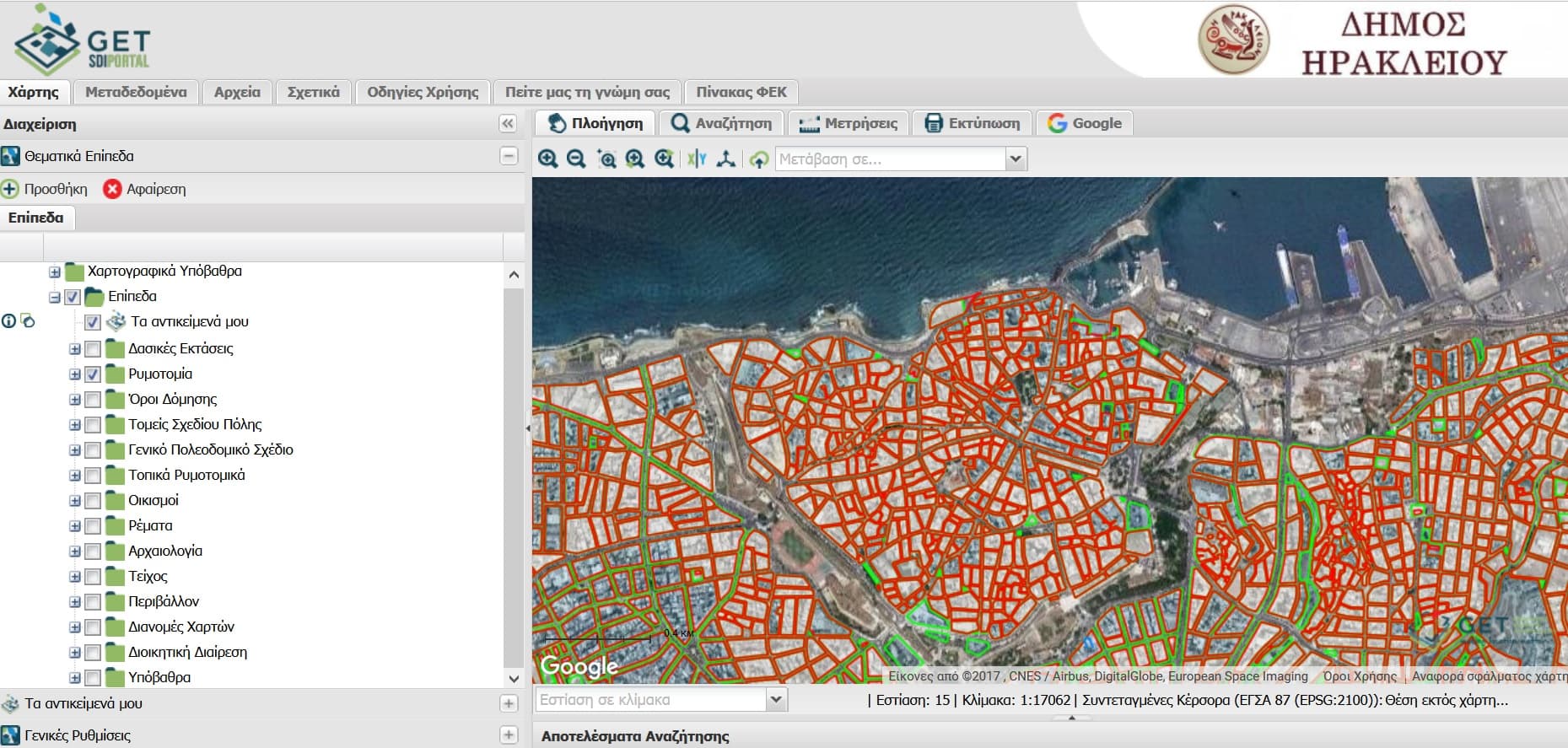
Expanding the SDI of the Municipality of Herakleion
The modern Spatial Data Infrastructure of the Municipality of Herakleion has already received many positive comments by its users, the number of whom is over…
Read more: Expanding the SDI of the Municipality of Herakleion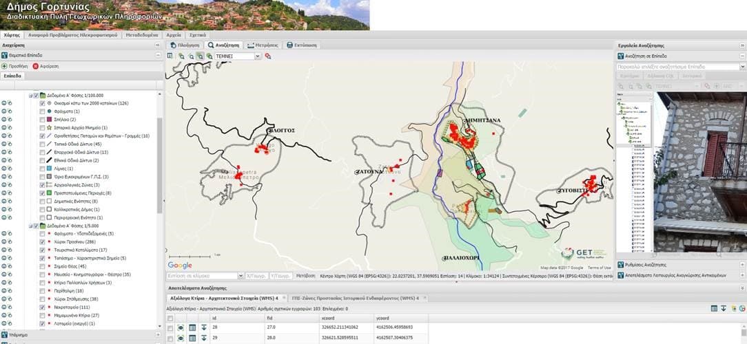
Continuing the enrichment of Spatial Data Infrastructure of Municipality of Gortynia with data and applications
Municipality of Gortynia is the first Municipality in the country invested in the combinatorial solution of Spatial Data Infrastructure and Open Data Portal…
Read more: Continuing the enrichment of Spatial Data Infrastructure of Municipality of Gortynia with data and applications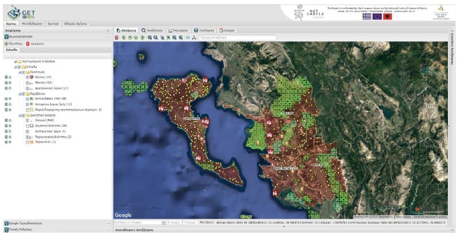
Touristic applications development for the Project NETCASTLE
GET, as subcontractor of DOTSOFT, participated at the project “Touristic content collection, digitization and applications development for NETCASTLE Network…
Read more: Touristic applications development for the Project NETCASTLE
New R&D project for GET under Horizon 2020 framework
GET participates at the new Research project SLIPO: Scalable Linking & Integration of Big POI Data under the Horizon 2020 frame. Partners for the…
Read more: New R&D project for GET under Horizon 2020 framework
GET completed the project for Attica Region
GET completed successfully the Subproject 6: “Awareness raising, information and communication” as part of the Action “ Knowledge and awareness increase about…
Read more: GET completed the project for Attica Region
Spatial Data Infrastructure for Chania Municipality
GET in cooperation with the Municipality of Chania begins the work regarding the development of Spatial Data Infrastructure in order to use and manage in the…
Read more: Spatial Data Infrastructure for Chania Municipality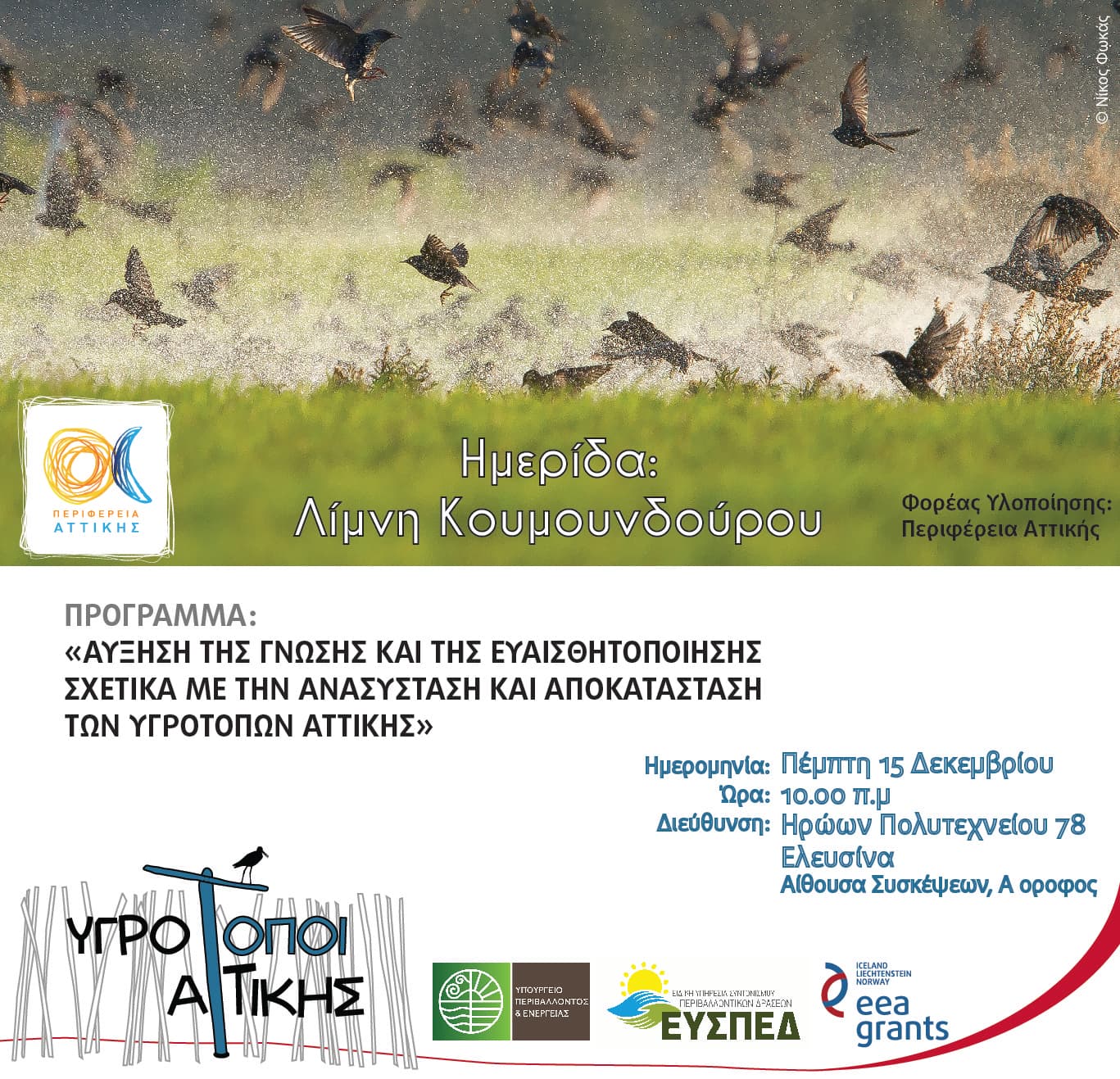
GET implements project for Attica region
GET provides services to the Attica Region for the Action “ Knowledge and awareness increase about the restoration and rehabilitation of wetlands in Attica –…
Read more: GET implements project for Attica region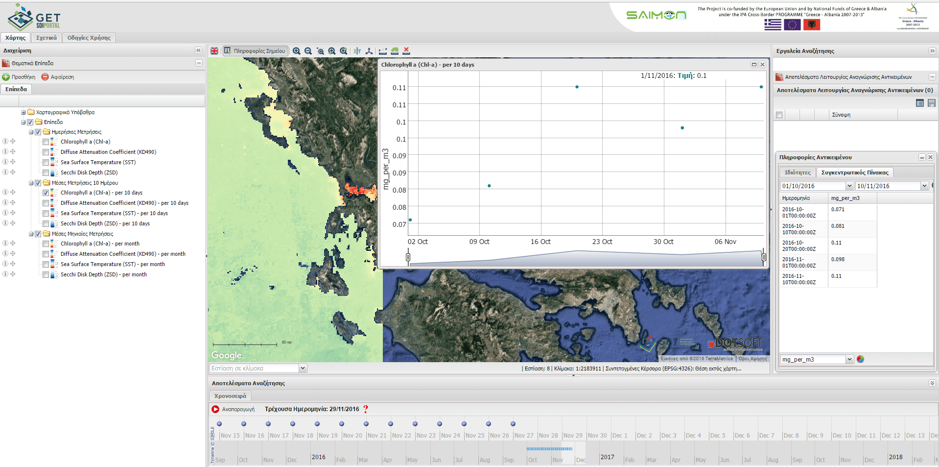
Marine environmental data real time monitoring service through satellites
GET, in cooperation with DOTSOFT, completed successfully project for the Ionian Islands Region Development Fund as part of the Action SAIMON: SAtellIte Near…
Read more: Marine environmental data real time monitoring service through satellites