
Articles
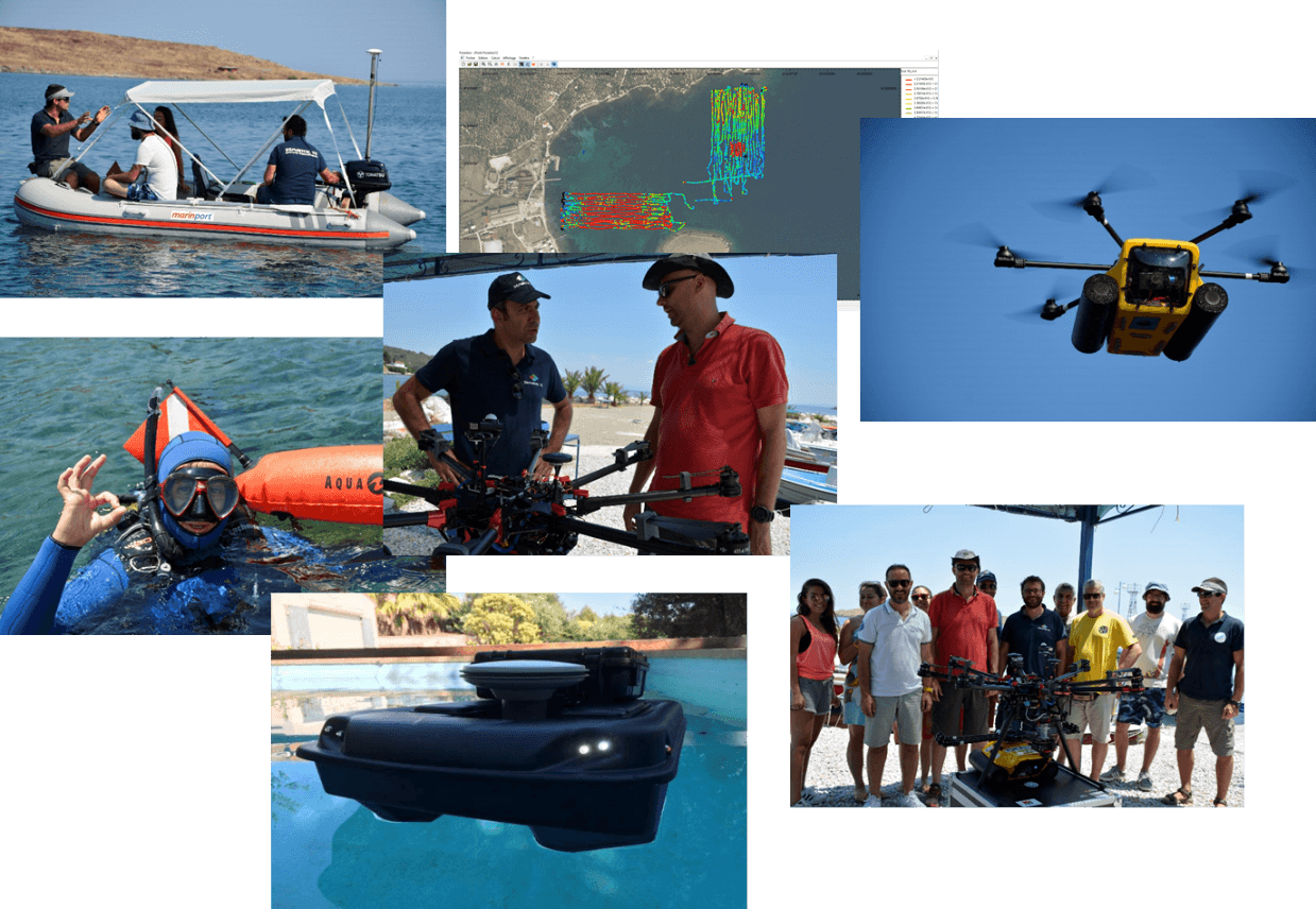
Pilot of the AMOS project “Shallow Water Aquatic Monitoring using Acoustic Sensors and Satellite Images”
Geospatial Enabling Technologies (GET) in cooperation with the French SME SEMANTIC TS successfully completed between 5 and 10 of July in Lesvos island the…
Read more: Pilot of the AMOS project “Shallow Water Aquatic Monitoring using Acoustic Sensors and Satellite Images”
ppCity project has already begun!
GET participates in the implementation of the research project with the title “Integrated System for the Spatial Decision Support and Participation”, acronym…
Read more: ppCity project has already begun!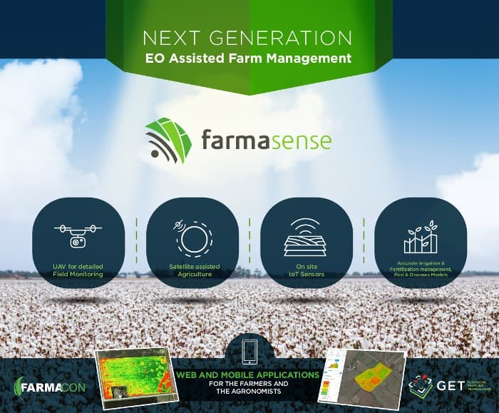
Farnacon and GET, with the innovative FarmaSense at the international competition Copernicus Masters.
With the innovative platform FarmaSense,which will support daily activities for farmers, Farmacon and GET participate at the international competition…
Read more: Farnacon and GET, with the innovative FarmaSense at the international competition Copernicus Masters.
Simularity and Geospatial Enabling Technologies (GET) Sign Partnership MOU
Exploiting a huge volume of free available Copernicus System Sentinel-2 satellite data, being collected daily, can be easily and effectively only with the use…
Read more: Simularity and Geospatial Enabling Technologies (GET) Sign Partnership MOU
Leaflet for SLIPO: Scalable Linking & Integration of Big POI Data
SLIPO: Scalable Linking & Integration of Big POI Data, receiving funding from the European Union’s Horizon 2020 research and innovation programme under grant…
Read more: Leaflet for SLIPO: Scalable Linking & Integration of Big POI Data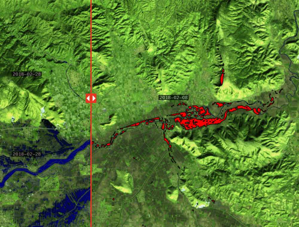
Article regarding use of satellite imagery in crisis management after floods: GET’s solution
The web portal Prevention web publishes article regarding the use of satellite imagery for crisis management after floods with detailed reference to the…
Read more: Article regarding use of satellite imagery in crisis management after floods: GET’s solution
GET at the Workshop on Copernicus uptake by public authorities
GET presented “Copernicus Data Driven Services for Regional & Local Government in Greece” during the workshop on Copernicus uptake by public authorities that…
Read more: GET at the Workshop on Copernicus uptake by public authorities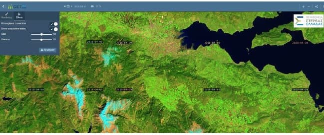
Portal for access in Copernicus Satellite Data through OGC services for the Region of Central Greece
NAMA S.A. in cooperation with GEOSPATIAL ENABLING TECHNOLOGIES will create a Portal for Open Satellite Data (Copernicus system) access in almost real time for…
Read more: Portal for access in Copernicus Satellite Data through OGC services for the Region of Central Greece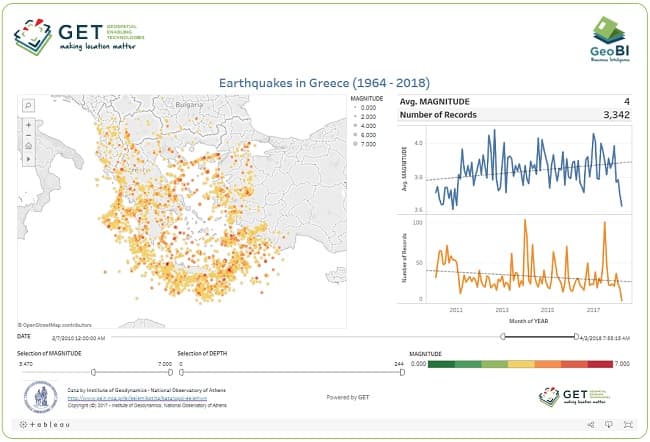
Dashboard for Earthquakes activity in Greece
Have you ever wondered about earthquake activity in Greece within the last 54 years ? Check out this new interactive dashboard from GET based on open data…
Read more: Dashboard for Earthquakes activity in Greece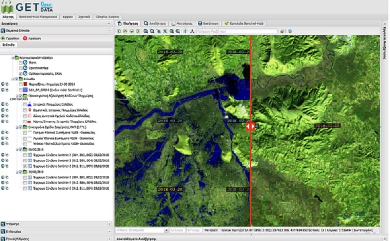
Use of satellite data for crisis management during and after flood
In the last couple of years we have experienced record-breaking extreme weather. In terms of lives lost and property damaged, floods are among the most…
Read more: Use of satellite data for crisis management during and after flood
GET cooperates with Dipylon
It is a big pleasure and honor for GET to announce its cooperation with Dipylon, the non profit organisation for the study of the ancient topography and the…
Read more: GET cooperates with Dipylon
Spatial data management services with the use of GIS for the Municipality of Zitsa
GET started to provide services for the Municipality of Zitsa in order to organize Municipality’s spatial data with the use of GIS. As part of the project, GET…
Read more: Spatial data management services with the use of GIS for the Municipality of Zitsa