
Articles
Spatial Data Infrastructure for the Municipality of Agia Paraskevi
GET begins cooperation with the Municipality of Agia Paraskevi for the development of a Spatial Data Infrastructure. The objectives of the project are…
Read more: Spatial Data Infrastructure for the Municipality of Agia Paraskevi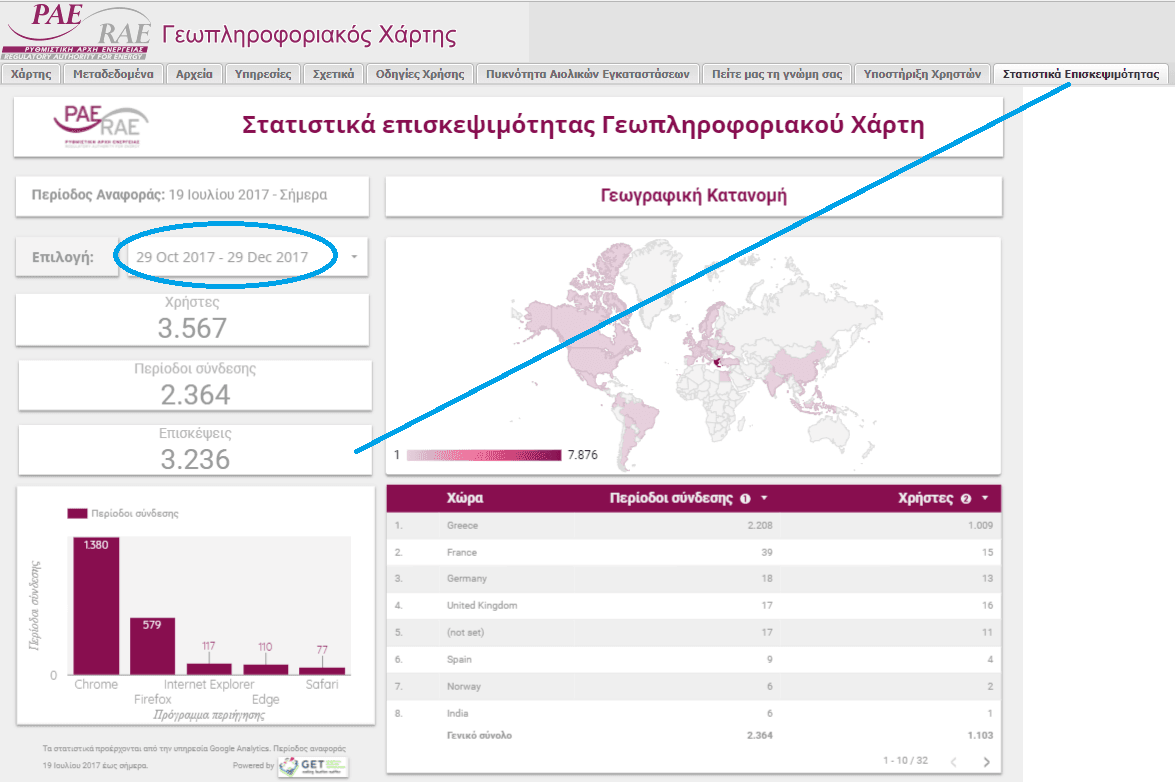
Published number of visits for the Regulatory Authority of Energy GeoPortal
The very important project of the Regulatory Authority of Energy is reflected in recent published features regarding number of visits in the web page of the…
Read more: Published number of visits for the Regulatory Authority of Energy GeoPortal
The Seminar “Cropland mapping from free multi-temporal satellite images” was successfully completed
GEOSPATIAL ENABLING TECHNOLOGIES in cooperation with ITC, Faculty of Geo-Information Science and Earth Observation of the University of Twente – Enschede – The…
Read more: The Seminar “Cropland mapping from free multi-temporal satellite images” was successfully completed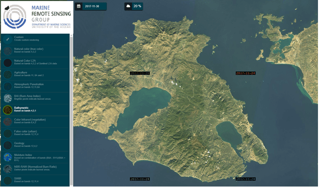
GET cooperates with the Department of Marine Sciences of the University of the Aegean
With the initiative of Marine Remote Sensing Group – MRSG) (http://mrsg.aegean.gr/) of the University of the Aegean, a web geospatial data portal (geoportal)…
Read more: GET cooperates with the Department of Marine Sciences of the University of the Aegean
Development of an Integrated Spatial Decision Making and Participatory Planning System
Public Participation in public space planning have partially introduced into Greek legislation (e.g.Sustainable Urban Mobility Plan), however the relative…
Read more: Development of an Integrated Spatial Decision Making and Participatory Planning System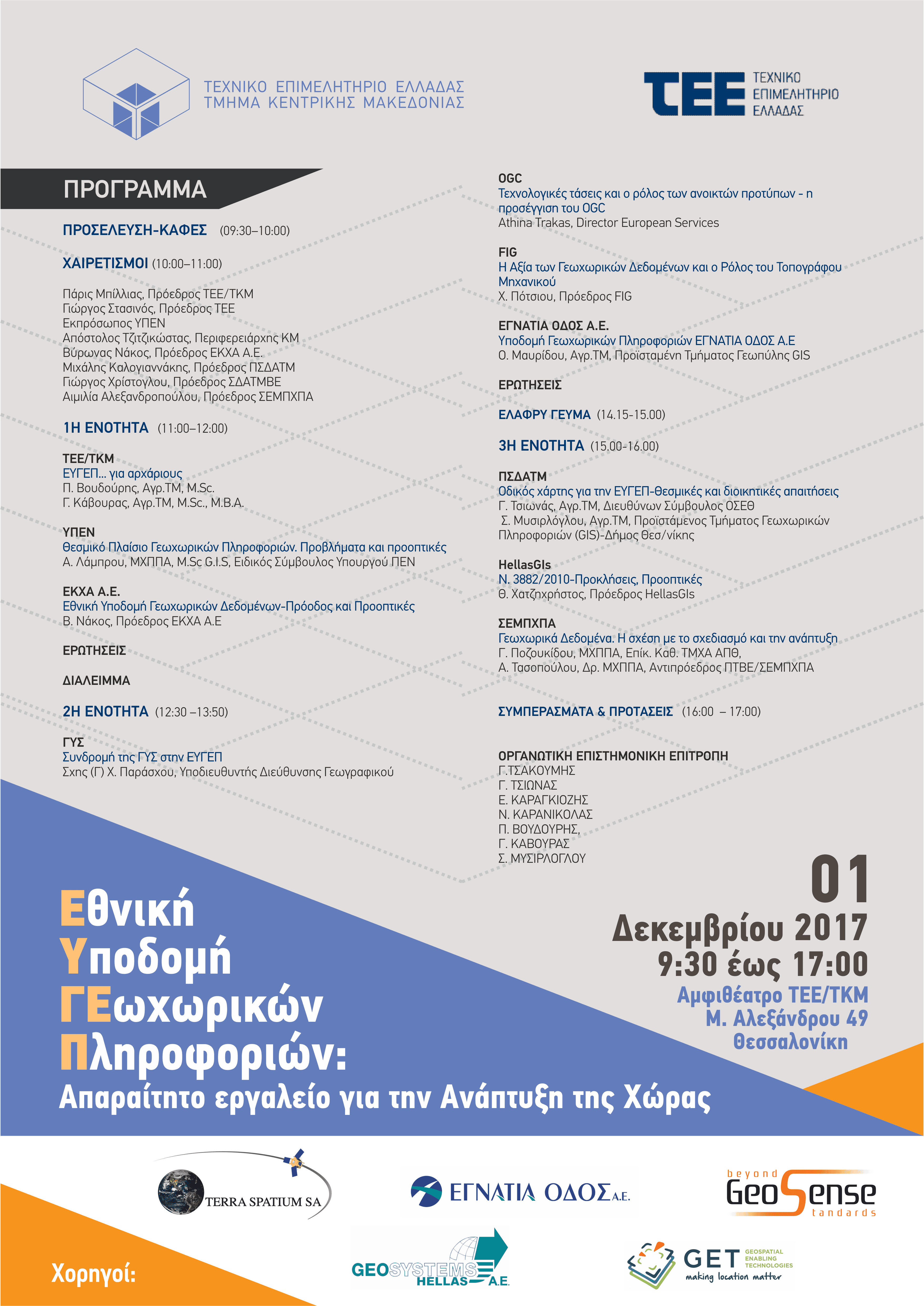
GET supports the event: National Spatial Information Infrastructure: Important tool for national development
The department of Central Macedonia of Technical Chamber of Greece organizes on Friday the 1st of December 2017, event under the title National Spatial…
Read more: GET supports the event: National Spatial Information Infrastructure: Important tool for national development
New Projects for GET!
GET starts new projects for Local and Regional Government. More specifically, these projects are: Geo-Informatics applications development for urban planning…
Read more: New Projects for GET!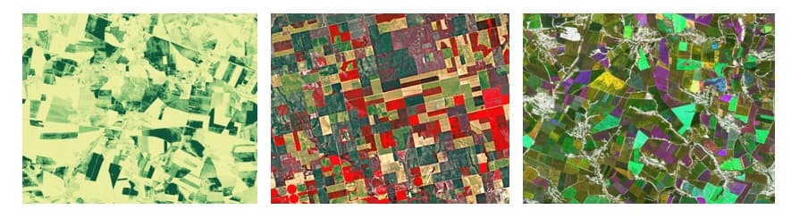
Seminar “Cropland mapping from free multi-temporal satellite images”
GEOSPATIAL ENABLING TECHNOLOGIES in cooperation with ITC, Faculty of Geo-Information Science and Earth Observation of the University of Twente – Enschede – The…
Read more: Seminar “Cropland mapping from free multi-temporal satellite images”
GET at the 5th National Rural and Surveying Engineering Conference
GET participates at the 5th National Hellenic Rural and Surveying Engineering Conference which takes place in Athens on the 14th and 15th of October 2017. GET…
Read more: GET at the 5th National Rural and Surveying Engineering Conference
GET will participate at the 3rd EO Open Science 2017 Conference
GET participates in the 3d consultation meeting of EO Open Science in ESRIN (Frascati, Italy) on 25–28 September 2017. The conference is organized by the…
Read more: GET will participate at the 3rd EO Open Science 2017 Conference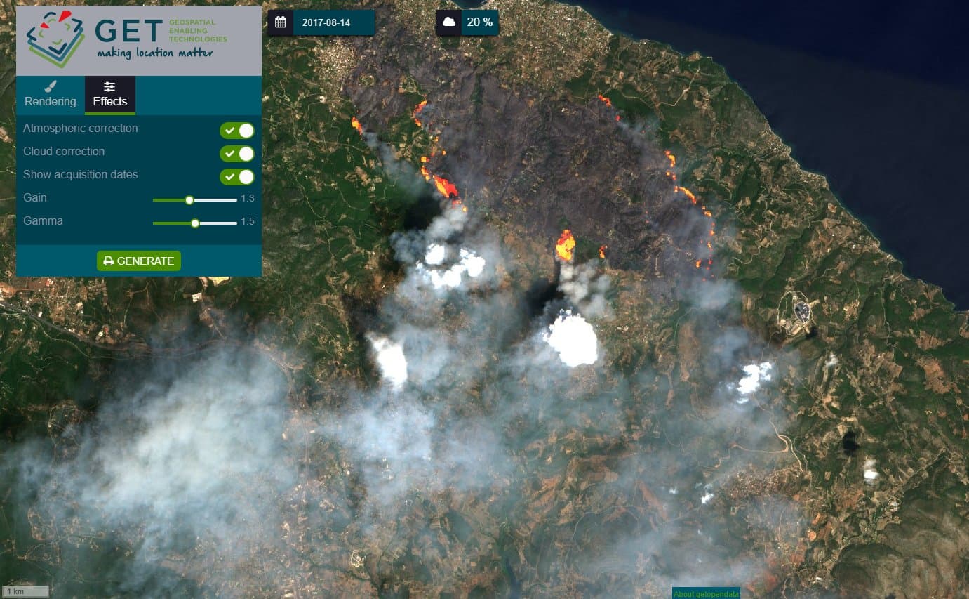
Article at Kathimerini newspaper for the exploitation of satellite data in forest fires.
On the 22nd of August 2017, KATHIMERINI daily newspaper publishes article regarding the exploitation/use of satellite data in forest fires referring also at…
Read more: Article at Kathimerini newspaper for the exploitation of satellite data in forest fires.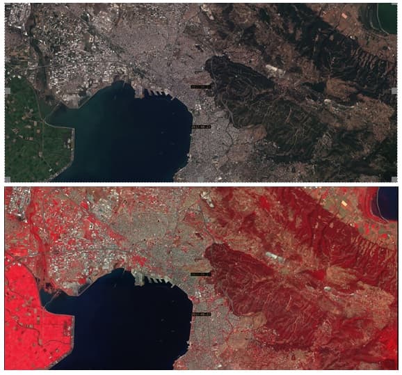
View, search, download services for Copernicus satellite data via standardized web services for the Municipality of Thessaloniki
Supporting the Municipality of Thessaloniki at the effort to update its infrastructures, GET in cooperation with the Department of building and Urban planning…
Read more: View, search, download services for Copernicus satellite data via standardized web services for the Municipality of Thessaloniki