
Articles
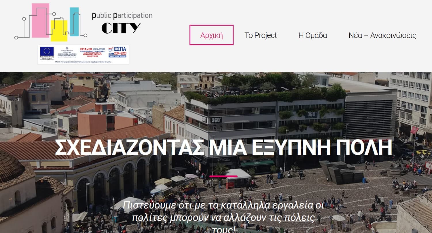
Deliverables of the first semester of the ppCity project are launched!
Deliverables, of the first semester of the project “Integrated System for the Spatial Decision Support and Participation Planning (ppCity, project code…
Read more: Deliverables of the first semester of the ppCity project are launched!
GET participates at the 10th National HellasGIs Conference
GET participates at the 10th National HellasGIs Conference which takes place, with the completion of 20 years of HellasGIs foundation and GIS Day 2018, at the…
Read more: GET participates at the 10th National HellasGIs Conference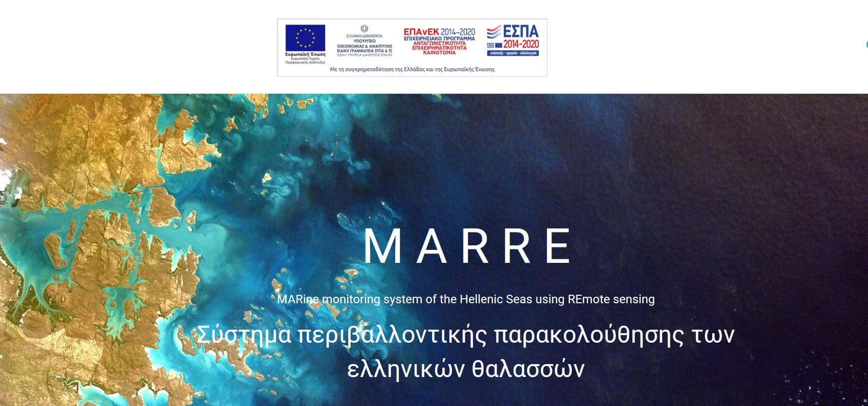
MARRE (Τ1ΕΔΚ-02966) website
The website http://marre.gr/ for the project MARine monitoring system of the Hellenic Seas using REmote sensing satellite data and in-situ measurements (MARRE…
Read more: MARRE (Τ1ΕΔΚ-02966) website
GET participates at LIFE ASTI
Η GEOSPATIAL ENABLING TECHNOLOGIES συμμετέχει στην υλοποίηση του έργου “Implementation of a forecAsting System for urban heaT Island effect for the development…
Read more: GET participates at LIFE ASTI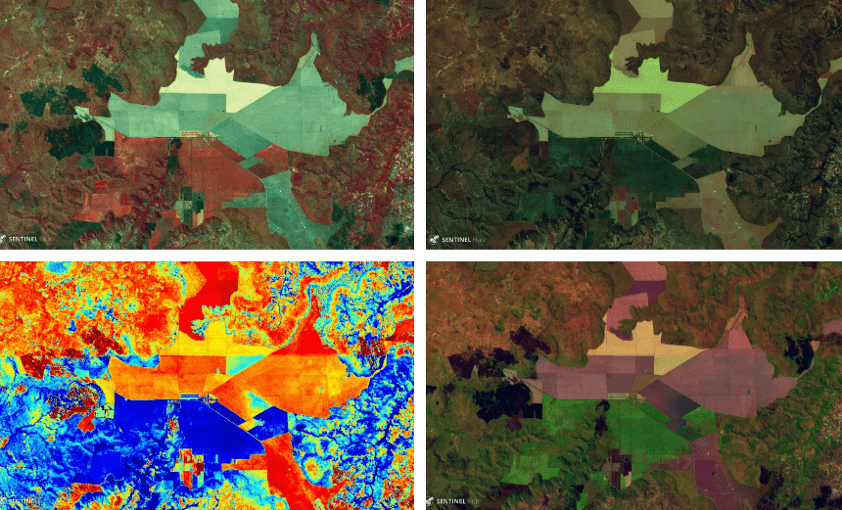
MOU between SOAR – SINERGISE – GET
Having as a goal to provide innovative mapping services, SOAR, a start-up Australian company, signed MOU with Sinergise and GEOSPATIAL ENABLING TECHNOLOGIES…
Read more: MOU between SOAR – SINERGISE – GET
New projects under the frame of RESEARCH – CREATE – INNOVATE action
GET participates at the implementation of new research projects under the framework “RESEARCH – CREATE – INNOVATE” of the Operational Programme…
Read more: New projects under the frame of RESEARCH – CREATE – INNOVATE action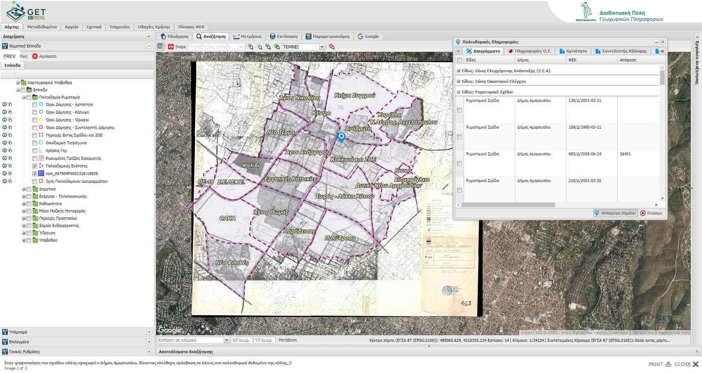
Free access to urban planning data for the Municipality of Maroussi
Municipality of Maroussi makes one more step towards innovation, regarding city urban planning data, entering into a new digital era. Exploiting technology…
Read more: Free access to urban planning data for the Municipality of Maroussi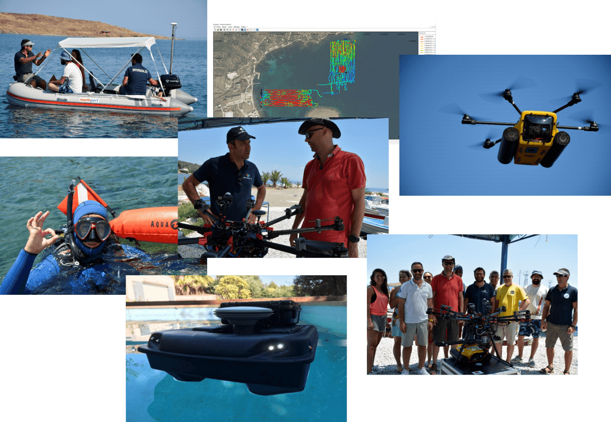
Pilot of the AMOS project “Shallow Water Aquatic Monitoring using Acoustic Sensors and Satellite Images”
Geospatial Enabling Technologies (GET) in cooperation with the French SME SEMANTIC TS successfully completed between 5 and 10 of July in Lesvos island the…
Read more: Pilot of the AMOS project “Shallow Water Aquatic Monitoring using Acoustic Sensors and Satellite Images”
ppCity project has already begun!
GET participates in the implementation of the research project with the title “Integrated System for the Spatial Decision Support and Participation”, acronym…
Read more: ppCity project has already begun!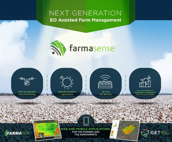
Farnacon and GET, with the innovative FarmaSense at the international competition Copernicus Masters.
With the innovative platform FarmaSense,which will support daily activities for farmers, Farmacon and GET participate at the international competition…
Read more: Farnacon and GET, with the innovative FarmaSense at the international competition Copernicus Masters.
Simularity and Geospatial Enabling Technologies (GET) Sign Partnership MOU
Exploiting a huge volume of free available Copernicus System Sentinel-2 satellite data, being collected daily, can be easily and effectively only with the use…
Read more: Simularity and Geospatial Enabling Technologies (GET) Sign Partnership MOU
Leaflet for SLIPO: Scalable Linking & Integration of Big POI Data
SLIPO: Scalable Linking & Integration of Big POI Data, receiving funding from the European Union’s Horizon 2020 research and innovation programme under grant…
Read more: Leaflet for SLIPO: Scalable Linking & Integration of Big POI Data