
Articles
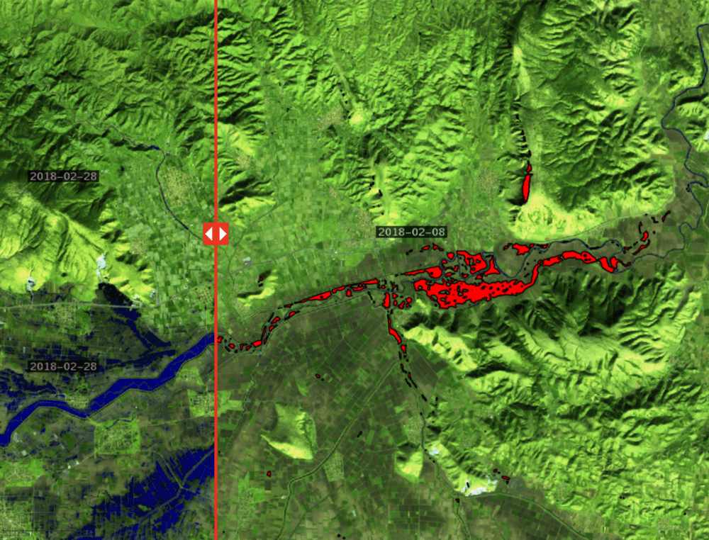
Article regarding use of satellite imagery in crisis management after floods: GET’s solution
The web portal Prevention web publishes article regarding the use of satellite imagery for crisis management after floods with detailed reference to the…
Read more: Article regarding use of satellite imagery in crisis management after floods: GET’s solution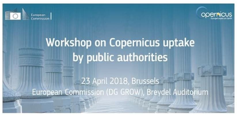
GET at the Workshop on Copernicus uptake by public authorities
GET presented “Copernicus Data Driven Services for Regional & Local Government in Greece” during the workshop on Copernicus uptake by public authorities that…
Read more: GET at the Workshop on Copernicus uptake by public authorities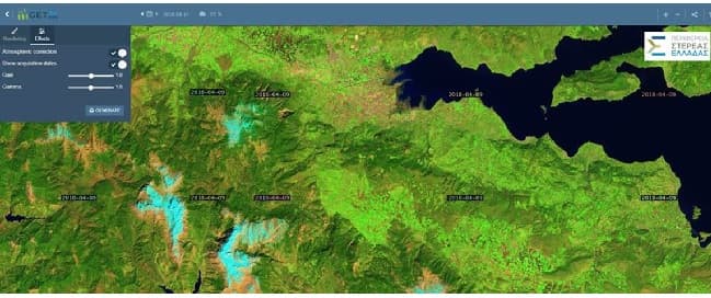
Portal for access in Copernicus Satellite Data through OGC services for the Region of Central Greece
NAMA S.A. in cooperation with GEOSPATIAL ENABLING TECHNOLOGIES will create a Portal for Open Satellite Data (Copernicus system) access in almost real time for…
Read more: Portal for access in Copernicus Satellite Data through OGC services for the Region of Central Greece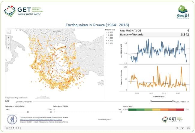
Dashboard for Earthquakes activity in Greece
Have you ever wondered about earthquake activity in Greece within the last 54 years ? Check out this new interactive dashboard from GET based on open data…
Read more: Dashboard for Earthquakes activity in Greece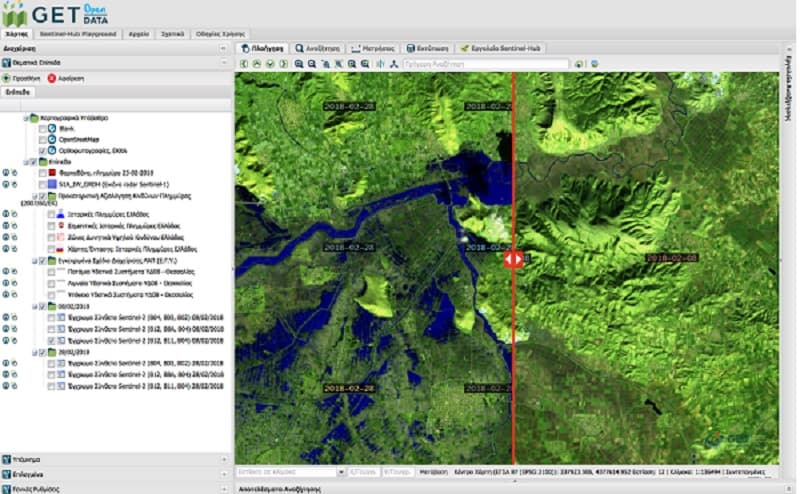
Use of satellite data for crisis management during and after flood
In the last couple of years we have experienced record-breaking extreme weather. In terms of lives lost and property damaged, floods are among the most…
Read more: Use of satellite data for crisis management during and after flood
GET cooperates with Dipylon
It is a big pleasure and honor for GET to announce its cooperation with Dipylon, the non profit organisation for the study of the ancient topography and the…
Read more: GET cooperates with Dipylon
Spatial data management services with the use of GIS for the Municipality of Zitsa
GET started to provide services for the Municipality of Zitsa in order to organize Municipality’s spatial data with the use of GIS. As part of the project, GET…
Read more: Spatial data management services with the use of GIS for the Municipality of Zitsa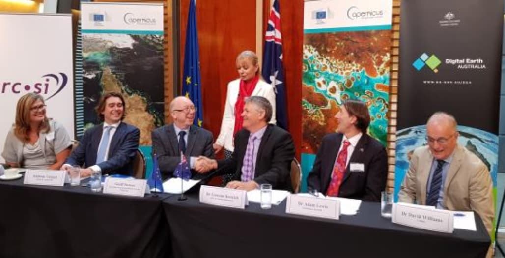
EARSC and CRCSI sign MoU
Brussels, 7th March 2018: The European Association of Remote Sensing Companies (EARSC) and the Cooperative Research Centre for Spatial Information (CRCSI)…
Read more: EARSC and CRCSI sign MoU
GET – Farmacon cooperation
GET develops for Farmacon SME (www.farmacon.gr) an operational solution which will support sustainable agriculture and good agricultural practices with the use…
Read more: GET – Farmacon cooperation
After a year of successful cooperation, GET and Sinergise decide to expand their partnership in Australia and GET becomes reseller of Sinergise for Australia area too.
In January 2017 Sinergise agreed to a reseller partnership with GEOSPATIAL ENABLING TECHNOLOGIES (GET). As part of this alliance, GET, GeoInformatics solutions…
Read more: After a year of successful cooperation, GET and Sinergise decide to expand their partnership in Australia and GET becomes reseller of Sinergise for Australia area too.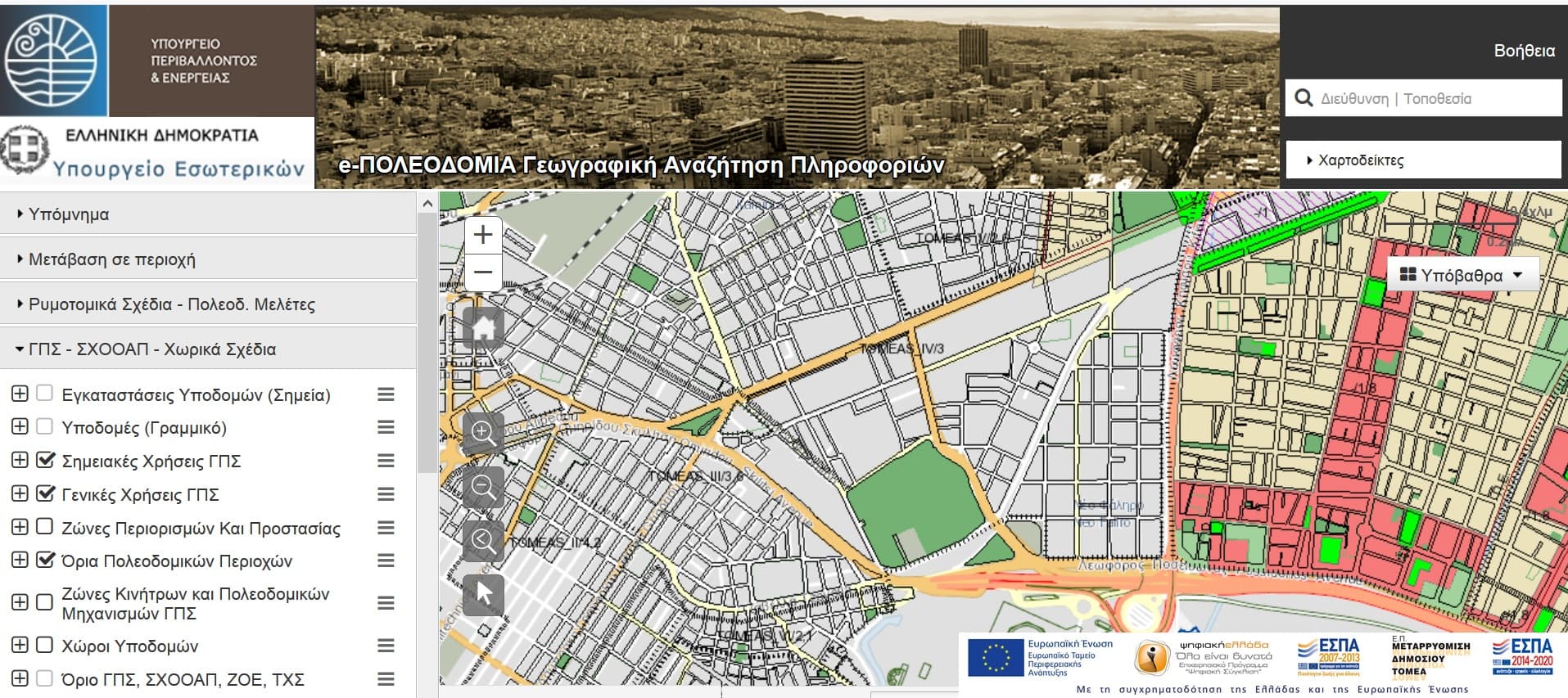
GET in Electronic Urban Planning Project
GET, as subcontractor of INTRASOFT INTERNATIONAL S.A. and TERRA MAPPING THE GLOBE, undertook and completed for the project “ELECTRONIC URBAN PLANNING…
Read more: GET in Electronic Urban Planning Project
GET participates at the 6th International Conference on Remote Sensing and Geoinformation of Environment
The 6th International Conference on Remote Sensing and GeoInformation of Environment will take place on 26-29 of March 2018 in Paphos, Cyprus. GET’ team in…
Read more: GET participates at the 6th International Conference on Remote Sensing and Geoinformation of Environment